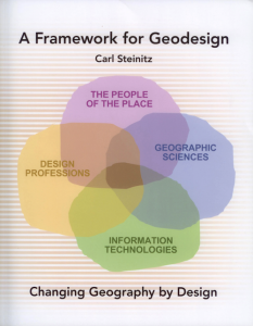
 Geodesign is the term coined by Carl Steinitz for the way in which “maps and geography are merging with mathematics and computing” as Jack Dangermond, President of ERSI, says in the Preface to Carl’s new book A Framework for Geodesign: Changing Geography by Design (ESRI Press, Redlands, CA, 2012). Carl lays out the framework which is based on a tight integration of iterative design – getting it right by trial and error – with stakeholder priorities, insights and intuitions. This is the core of any modern design process and carl’s model is state of the art with respect to informing decision processes involved in physical location of various land uses, activities, facilities and related objects and peoples within the urban and regional landscape. Drawing on his enormous experience, this book develops the argument for geodesign based on his work over 40 years at Harvard where he was instrumental in the development of geographic information systems (GIS), overlay analysis in landscape design, and in training the world’s key experts and innovators in spatial analysis and GIS. Carl is currently a visiting professor here at CASA where he continues to develop incisive ideas in the development of geodesign, Click here for reference to his new book and to other developments in geodesign.
Geodesign
Santa Fe, Complexity, Cities
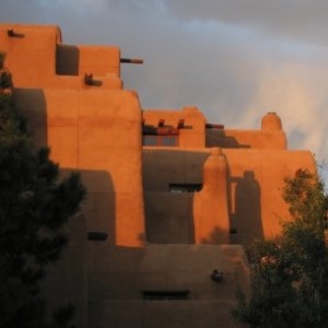 The Mathematical Puzzle That Is the Complexity of the City: An interesting article in the Atlantic Cities pages by Samuel Arbesman on how we are developing this science of cities – a prelude the workshop at Santa Fe this week (July 12th-14th) which unfortunately I cannot attend but at which Elsa Arcaute from CASA is presenting our work on scaling. The program is on the Santa Fe web site and I have posted my own contribution to be given by Skype here: click to access the pdf.
The Future Cities Lab
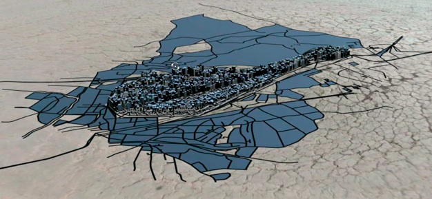
Check out the Future Cities Lab established by ETH Zurich in Singapore. Many projects dealing with every aspects of the city-state but relevant to our own work on land use transport and mobility is their MATSims model which is now running for the City. Nice videos at Vimeo. Lots of data taken from the public transport system that uses the EZ-Link swipe card like our own Oyster card and HK’s Octopus card.

