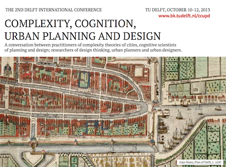
Mike Batty, Bill Hillier and Stephen Marshall are all presenting at the 2nd Delft Complexity meeting which runs for the next three days at TUDelft. Juval Portugali is the spirit behind these meetings and the edited book from the first conference in 2009 Complexity Theories of Cities Have Come of Age was the result. Here is the programme. I am going to talk about my work on evolving designs or plans using opinion pooling which is a long standing interest of mine in design theory and methods but it has strong complexity implications for complexity as it shows how plans are arrived at from the bottom up. In fact there is a strong focus in the meeting on cognition. There is a very nice paper by Juval defining complexity in cities and click here to read it.
Cities = Complexity + Design
Prix Vautrin-Lud 2013
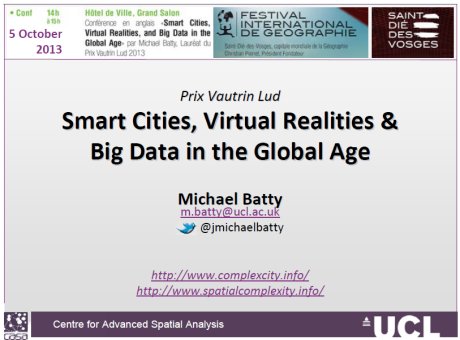
I give my Prix Vautrin-Lud Lecture today at 2pm in Saint Die des Vosges where Vautrin Lud organised the production of the first map of America in 1507. This was named after Amerigo Vespucci, an early traveller to America who followed in the footsteps of Columbus and argued that the land mass that was found was not linked to China but a separate continent. Amerigo who died in1512 gave his name to the continent or at least the geographers who were reconstructing Ptolemy’s The Geography in Saint Die des Vosges in 1507 did. The town organises the Festival International de Geographie each year which brings many geographers together to celebrate the subject. A real extravaganza and culinary delight as well. Here’s the lecture which is more of the same stuff which you have seen before but have a look at the history which is interesting.
Urban Network Analysis Toolbox
Andre Svetsuk and the City Form Lab have just announced the Urban Networks Analysis Toolbox v1.01 for ArcGIS. This can be downloaded free. The following text is from their web site.
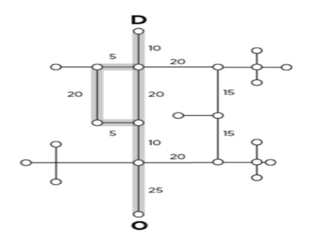
As the first of its kind, this ArcGIS toolbox can be used to compute five types of graph analysis measures on spatial networks: Reach; Gravity; Betweenness; Closeness; and Straightness. Redundancy Tools that come with the software, additionally calculate the Redundancy Index, Redundant Paths, and the Wayfinding Index.
The tools incorporate three important features that make them particularly suited for spatial analysis on urban street networks. The tools are aimed at urban designers, architects, planners, geographers, and spatial analysts who are interested in studying the spatial configurations of cities, and their related social, economic, and environmental processes. The toolbox is built for easy scaling – it is equally suited for small-scale, detailed network analysis of dense urban areas as it is for sparser large-scale regional networks. The toolbox requires ArcGIS 10 software with an ArcGIS Network Analyst Extension.

