City Analytics

OpenSci

City Analytics: An invited special collection of articles for Royal Society Open Science entitled ‘City Analytics’ compiled and edited by Desmond J. Higham, Michael Batty, Luís M. A. Bettencourt, Danica Vukadinovic Greetham and Peter Grindrod. Click here or on the image above for the papers.

The growing human urban population presents unique opportunities and challenges for a range of stakeholders. As is presented in this special collection, using a range of mathematical, computational and statistical tools, it is possible to extract and analyse data on urban environments from myriad sources of information.

In the City Analytics special collection, interdisciplinary work exploring, for instance, social media usage patterns, transport networks and urban resilience to natural disasters, such as flooding, provide researchers and policymakers with detailed insights. Click here for the editorial and the papers and for the contents which are open access.

Posted in Agent-Based Models, Big Data, city size, Complexity, Emergence, Flows, Interactions, Networks, Scaling | Leave a comment

Encounters in Planning Thought

Encounters

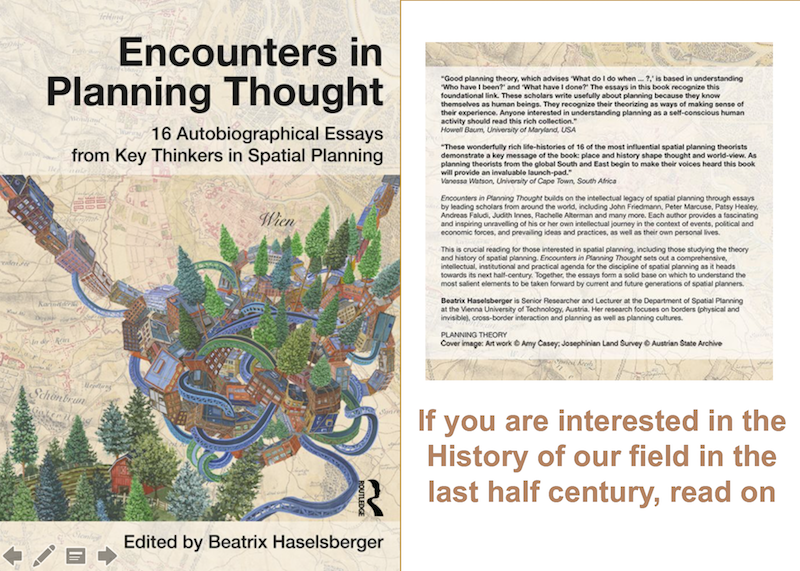
Click on the picture or on this link to by the book online. The project has a web site – click here for the web site and the wider context from which this extract is taken. And take a look inside the book here.

The  Encounters in Planning Thought  book-project was born out of the need to capture the planning thoughts and reflections from 16 leading thinkers of the original generation of planning professors, who led the formation of the academic field of city and regional planning. The aim of this project is to understand and unpack the roots of the planning discipline. In difference to existing ‘planning history projects’ we seek to explore the roots of planning through the eyes of selected individuals who influenced and shaped the field of planning over the last five decades. Understanding the history of the field of planning through oral histories enables us to grasp also the impacts of historical events, demographic change, political systems, etc. of an ever changing world, on the history of the field. This approach makes it possible to understand how planning thoughts can be adopted meaningfully in a different time, context and situation.

The project was born out of the need to capture the wisdom of the first generation of planners. The finite amount of time that the current and next generation of planners have to accumulate this information underlines the ‘now or never’ aspect of this project. When this highly influential generation is gone, their knowledge will be lost. This makes this project an extremely time sensitive endeavour.

We argue that it is important to understand the evolution of planning thought in the context of personal values and experiences as well as in relation to an ever changing world, from those individuals who have first-hand knowledge of this intellectual evolution. Through their historical accounts of the emergence and development of the field of planning, we can not only reflect on the past to resolve our current issues but we can reflect on the past to further the field of planning in the future.

Posted in Complexity, Emergence, Planning Support, urban and regional planning | Leave a comment

Space Syntax and Spatial Interaction

SSfig

Written a paper on how we can compare and even integrate space syntax with spatial interaction. You can get it here by clicking on this link or on the image above. This is based on the notion that we need to develop a way of disentangling the underlying planar graph of the street network into components that when put together either lead to operations on the planar graph itself as in spatial interaction or on the dual of this graph between the streets which is the graph used in space syntax. The link is obvious when developed in this way but the ways of integration are somewhat convoluted. We develop these ideas for some simple hypothetical graphs and make comparisons of the various accessibilities associated with these graphs which appear both in space syntax and spatial interaction. We then develop a semi-real application using data on the nearest neighbour generic graph for Greater London and this reveals the problems of specifying this graph in the first place. Our comparisons with real data are disappointing for many obvious reasons but what I think this paper does is throw light on space syntax and on ideas about accessibility, suggesting that we need a sustained effort to develop the right sorts of underlying graphs from which space syntax can be developed. We are only at the beginning of the process and in space syntax, we have not really explored the properties of the underlying graphs in any depth hitherto. This establishes directions for further research. Click here for the paper.

Posted in Flows, Graphs, Interactions, Networks, Transport Models | Leave a comment